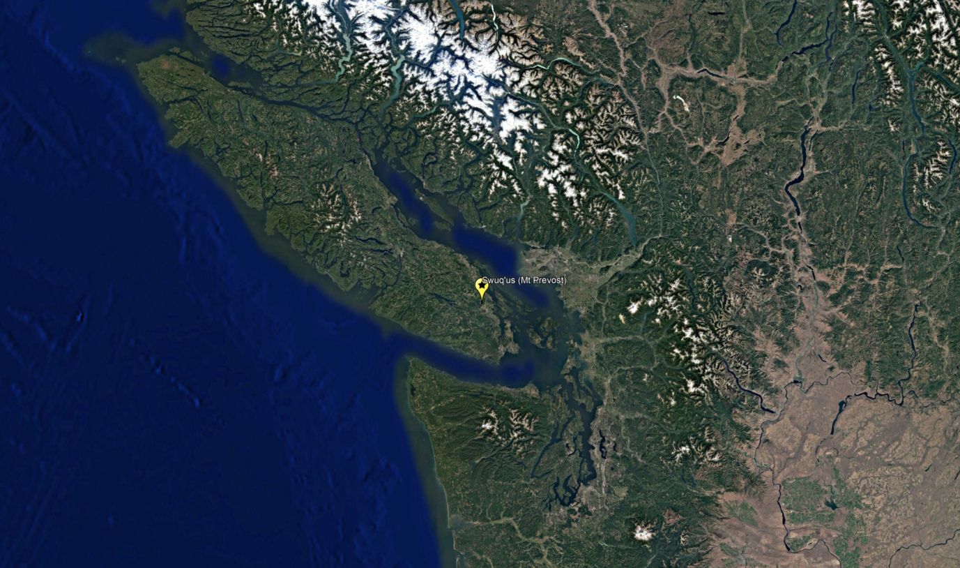
Swuq’us
The following materials show changes to the land around Swuq’us, one of the places where the First Ancestors fell.
“I look up towards Swuq’us; I see the face of my First Ancestor Stuts’un and remember the teachings he gave me…”
“Our laws were written in the lands – quietly and majestically surrounding us, waiting for their renewal. These are the laws that can bring healing and health to my people…”
“This realization is what I hope to share with my community through this dissertation. I want to change how they envision our landscape. I want them to draw strength from the laws embedded in the lands. I want them recognize that we are a strong people. I want them to see we have a living legal tradition that operates within our communities and guides our daily decision-making processes…”
Sarah Morales, “Snuw’uyulh: Fostering an Understanding of the Hul’qumi’num Legal Tradition” (2014) University of Victoria, PhD Dissertation at p. 42.


40 Years of Landscape Change around Swuq’us
Swuq’us - also referred to as Mt. Prevost - has been affected by logging, recreational activities, and the expansion of nearby urban areas such as the City of Duncan.
This landscape change is visible through satellite imagery. The carousel above shows logging in the vicinity of Swuq’us in April 2004 and July 2022. The video below shows a timelapse of Swuq’us from 1984 to 2020.

“The workers of a forest company kicked me and my family out of our property. We were told we were trespassing…”
“We live in fear of signs: private property, no trespassing, trespassers will be prosecuted. We live with the threat to be arrested. I try not to be afraid and go there to harvest plants. I have to. We need these plants for medicines and food. They are becoming very scarce. Access is a very serious problem on private land. The workers of a forest company kicked me and my family out of our property. We were told we were trespassing. We live in fear of arrest or harm when we attempt to continue our traditional lifestyle in our own territory…”
Testimony of Elder Luschiim Arvid Charlie before Inter-American Commission on Human Rights (IACHR). View testimony here.
Access Networks near Swuq’us
The map above shows a preliminary sketch of access networks in the vicinity of Swuq’us. The blue represents water, the yellow represents footways/cycleways, the thick orange lines are public roadways, and the thin orange lines are roadways that are believed to be restricted.
In an area of 34.9 square km around Swuq’us, we found approximately:
-
94.33 KM
ROADWAYS
The total length of public and private roadways was approximately 94.33 km, for a combined road density of 2.70 km/square km.
-
20.63 KM
FOOTWAYS/CYCLEWAYS
In addition to roads, we found approximately 20.63 km of footways and cycleways, clustered to the southeast near the City of Duncan.
-
67.74%
OF ROADWAYS RESTRICTED
Of the 94.33 km of total roadways, we found that approximately 30.43 km were public and the remaining 63.90 km were restricted.
In addition to these numbers, we noted interesting relationships between roadways and water.
Water flows downhill. It can therefore be challenging to build logging roads where water flows, since the land tends to dip down along the water’s path.
In the preliminary sketch, logging roads appear somewhat bounded by the stream network surrounding Swuq’us.